Maps are one of the most integral tools of the tourism industry. Be they digital or physical, big or small, printed or drawn, a visual reference is invaluable for directing and guiding people.
As part of my group’s efforts to bring the tools and techniques of the digital world to a physical medium, I have chosen to include maps on some mock up brochures in order to point prospective hypothetical visitors to the Vancouver area toward some of the landmarks I have chosen to highlight. While in person its simple enough to direct people to their mapping software of choice, most commonly Google or Apple Maps, in the format or a brochure the use of these maps is not as accessible due to concerns over copyright and whether or not a screenshot of a mapping software in print counts as reproduction.
To the more artistically inclined the solution may be to simply draw their own map for such a format, ensuring the rights to its usage by being the original creator themselves. But this will not always be a practical solution. However there exists a middle ground between original maps and existing digital maps.
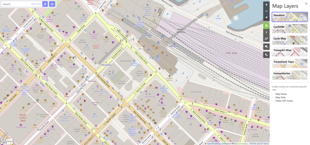

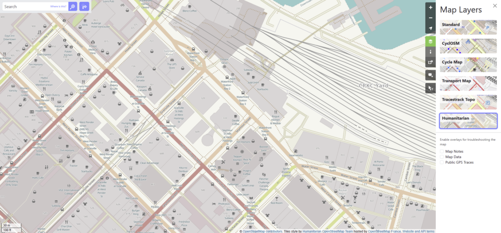
Open Street Map is an open source mapping software usable on both mobile and desktop. Not only is this software community curated and likely to reflect recent changes in the map than software from a big company, but it is also reproducible, allowing the use of their maps in published works. Not only this but each region brings with it a number of optional “layers” that add or omit information based on differing needs such as the “Humanitarian” Layer which highlights public bathrooms and places to eat, or the “Transport” Layer which shows transit routes and information.
This open access and usage model, as well as the ability to tailor the information on the screen makes Open Street Map the perfect software to find and create visual references for use in print and online
Works Cited:
Open Street Map: https://www.openstreetmap.org